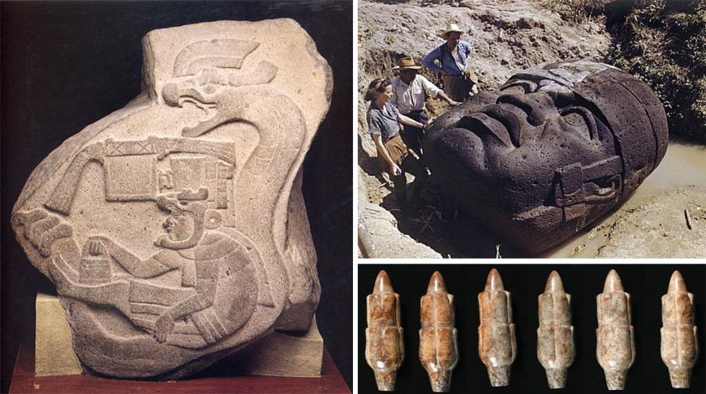
In terms of mysteries, few come along as incredible and irrefutable as The Ural Relief Map. In 1995, Aleksandr Chuvyrov, Professor of Mathematical and Physical Science at Bashkir State University in Russia, was investigating hypotheses of the immigration of Chinese Migrants to Siberia and the Urals. During his research he heard an account from the 18th century telling of a series of strange white slabs scrawled with some unknown language.
As they were supposedly situated in an area central to his study, a remote village named Chandar the southern Urals, he thought the stones could be of Chinese Origin. and organized a team and helicopter to try and locate them. After several searches and village hopping in his helicopter he could find no trace of the elusive stones. It was then that a village elder approached him and asked him to take a look at a strange slab he found in his back yard.
The slab he was taken to was the Ural Relief Map, also dubbed ‘The Map of the Creator’Showing a relief scale of the entire southern Urals, the slab accurately shows its three main rivers, the Belya, Ufimka and Sutolka, as well as the Ufa canyon. After the map was studied further it was understood to show a giant irrigation system, consisting of two 500 meter wide channel systems, 12 dams, each 400 meters wide, 10km long and 3km deep. It is calculated that 1 quadrillion cubic meters* of earth were shifted to allow for the dams to be built. After initial tests failed to provide an age for the stone, a breakthrough was made when 2 types of prehistoric shell were found embedded in its surface, Navicopsina munitus and Ecculiomphalus Princeps. The former existed 500 million years ago, while the latter existed 120 million years ago. Scientists place its actual age at 120 million years.
A geological test of the slab concluded that it consisted of 3 layers, the base being 14cm thick dolomite, the second being a diopside glass unknown to science, while the third is a protective layer of calcium porcelain. Chuvyrov said ‘It should be noted, that the relief has not been manually made by an ancient stonecutter. It is simply impossible. It is obvious that the stone was machined.’ X rays confirmed it was made by precision tools. Interestingly scientists believe that the map is actually part of a relief map of the entire world, due to the crudeness of the areas around the maps’ perimeter.
Soil tests of 400 types of soil in the area, in comparison to the ones found embedded on the stone, have allowed scientists to narrow down the possible location of other pieces to 4 specific areas around the village of Chandar. So what is the Ural Relief Map? God’s discarded blueprint? Ancient Extra Terrestrial resource chart? It remains a Mystery.

